Robotic systems for automated data collection and implementation testing

ILVO owns different automated UGV’s (robots) and UAV’s (multicopter drones) for acquiring agricultural data. A nearly fully automated workflow is developed for acquiring (RTK-GNSS) georeferenced imaging (RGB, multispectral, hyperspectral, thermal) data of agricultural fields. This data can be used by technology companies for developing new applications, using these imaging data in combination with image processing (often machine-learning). The autonomous robot platforms can be used for testing new agricultural implements, e.g. for alternative weed management, sitespecific applications of fertilizer and PPP, etc.
Services
Capturing georeferenced imaging data of agricultural crops
Large amounts of data and associated metadata can be captured in an efficient manner. This data can be used to train machine learning models to develop new precision farming applications.
Testing of agricultural implements
The robotic platforms can be used to test new agricultural equipment. Large amounts of data can be logged to provide feedback to the designers.
Features
Autonomous robots or drones are used to capture image data and associated metadata, which can be used to optimise data labelling. The robots can be coupled with standard implements and experiments can be set up to evaluate these implements. The robots and drones are equipped with RTK GNSS systems for data georeferencing and autonomous operation. Different types of cameras (RGB, multispectral, hyperspectral, thermal) can be mounted on the platform to capture image data of agricultural crops.The use of autonomous platforms dramatically increases the labour efficiency of data collection and crop inspection.
Robots
Implement carriers
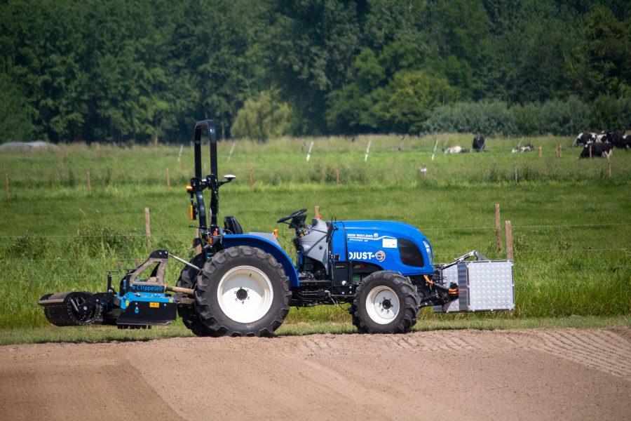
- DJust-E
- CIMAT
- Lambers implement carrier
Other platforms
- Biobot: Application in greenhouses
- Treebot: Application in tree nurseries, vineyards and berries


